Headed for the Mountains
Join Date: Jun 2007
Location: Edmonton, Alberta, Canada.
Posts: 275

A couple items:
Garmin's Topo Canada as based on the NTS maps, as of the last couple years. So, where there are issues in the NTS maps, there will be in the Topo Canada map.
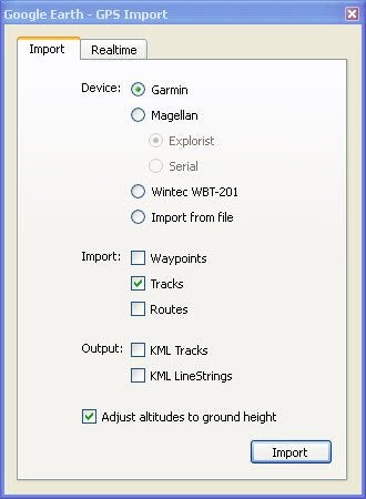
Also, I thought that Mapsource came with all the GPS units (without maps, of course) so that you could organize waypoints and routes. Perhaps you didn't receive everything you should have?
Your issue with waypoints in a lake could be a number of reasons. Firstly, handheld GPS devices are good, at most, to +/- 3m, is WAAS is enabled, and you get a good number of satellites. Secondly, the Google Maps (or Bing Maps) overlay satellite imagery over a rough elevation model, stretching the photos to match up with significant features and marked points. Usually, errors are greatest when there's significant elevation differences. If your waypoint is within a few metres of where you think it should be based on the satellite imagery, that may be as good as it gets. In my experience (in Edmonton and in the Rockies), where there is good imagery available in Google Maps, the locations tend to be within a few metres... And that's all you should likely expect.

 )]
)]
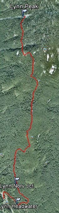
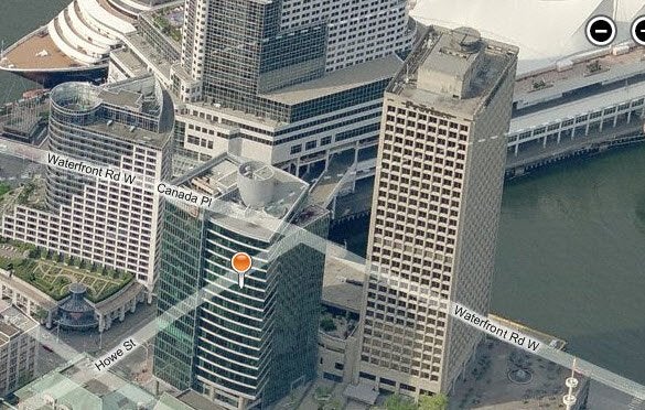
 I know these waypoints were taken at the right locations so either the GPS or Google Earth is incorrect. Perhaps the answer is in how Goole Earth stitches the various maps together. Or perhaps the actual GPS satellite that day was off when I marked them. Any thoughts? It's funny - not sure if it's more accurate in the city. At the office today I took an outside reading just a few meters apart and was able to pick up the difference when I plotted them in Google Earth.
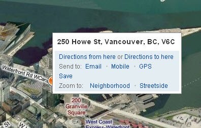


 Your Privacy Choices