Summit Master
Join Date: Dec 2001
Posts: 6,120
 |
|
|
LinkBack | Thread Tools |
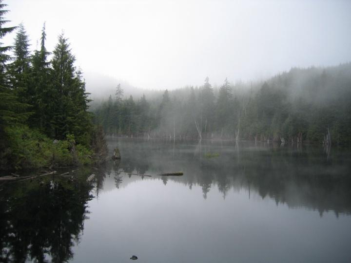
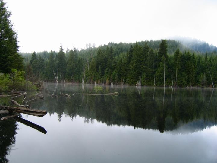
 Cypress Lake
 Start of the trail proper.This is where the trail branches off.It is about 15 min. from the parking area, and you will see the pink flagging. Most of the way up there are small signs posted on the trees near branches or forks in the tail.A nice touch is that the dead-end trails are also marked so you don't have to waste time.
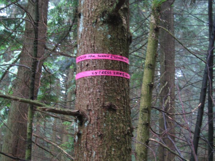 Trail markings
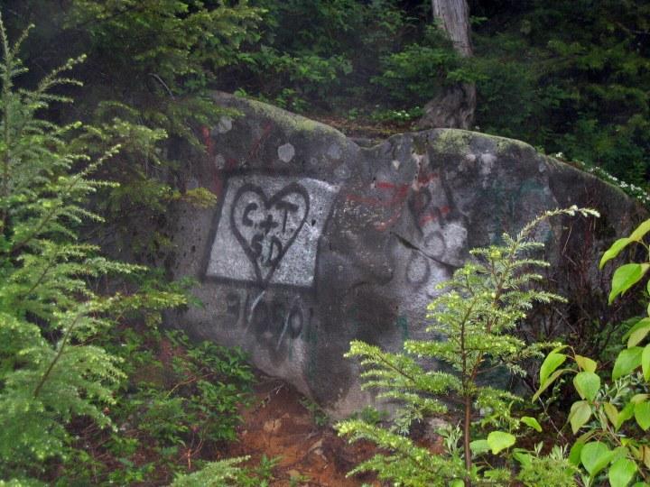 Present day Pictographs
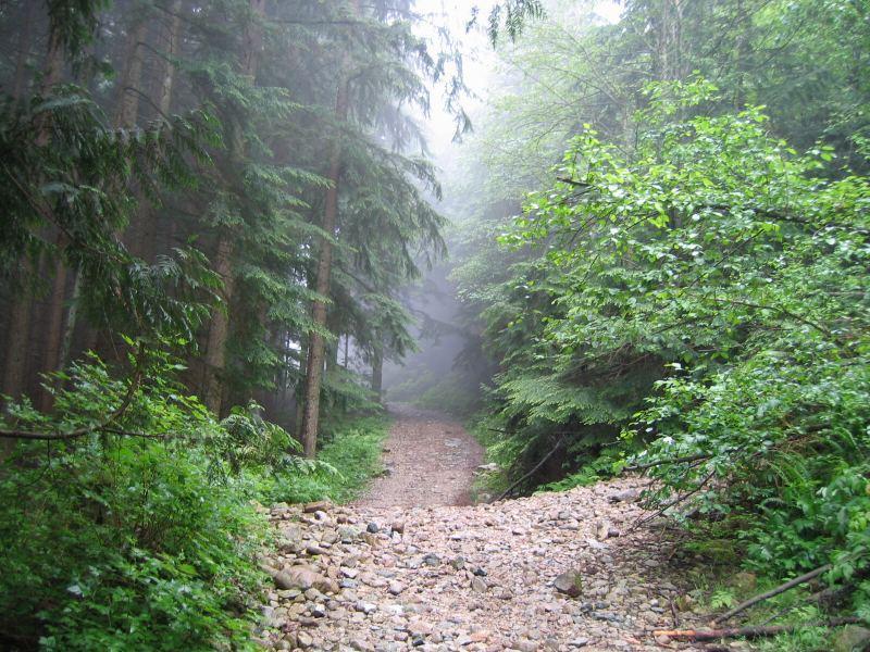
 Example of the trail conditions
 View along the way
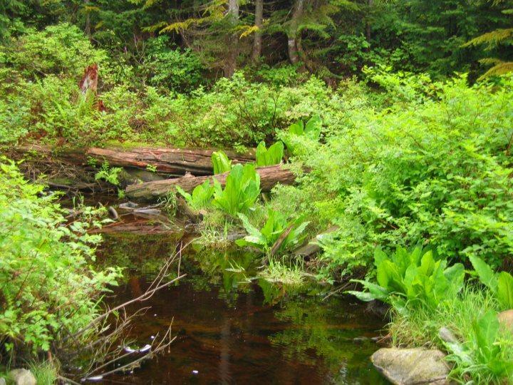 Nice swampy area at the lake.
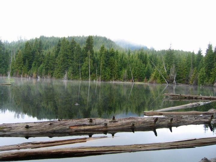
| Sponsored Links | |||
|
Advertisement |
|
||

| Sponsored Links | |||
|
Advertisement |
|
||
 )
)

 ]
]
| Thread Tools | |
|
Show Printable Version Show Printable Version
Email this Page Email this Page
|
|
|
| Posting Rules | |


 Your Privacy Choices